Blog
A-Z of Chilean Patagonia: Part two
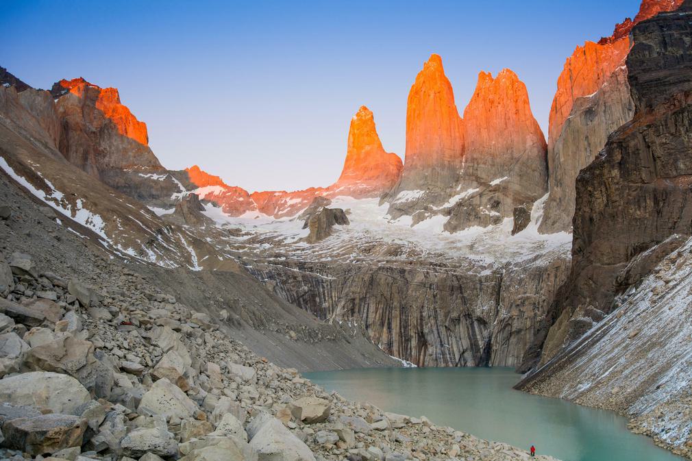
Welcome back to readers from part one of our A-Z of Patagonia. If you’re landing here for the first time, you might want to skip back to the beginning, or not - Patagonia looks good whichever direction you move through it. Hopefully this article does too. Let’s pick things up again with a bit of aerial artistry.
N is for Nubes, the great clouds of Patagonia
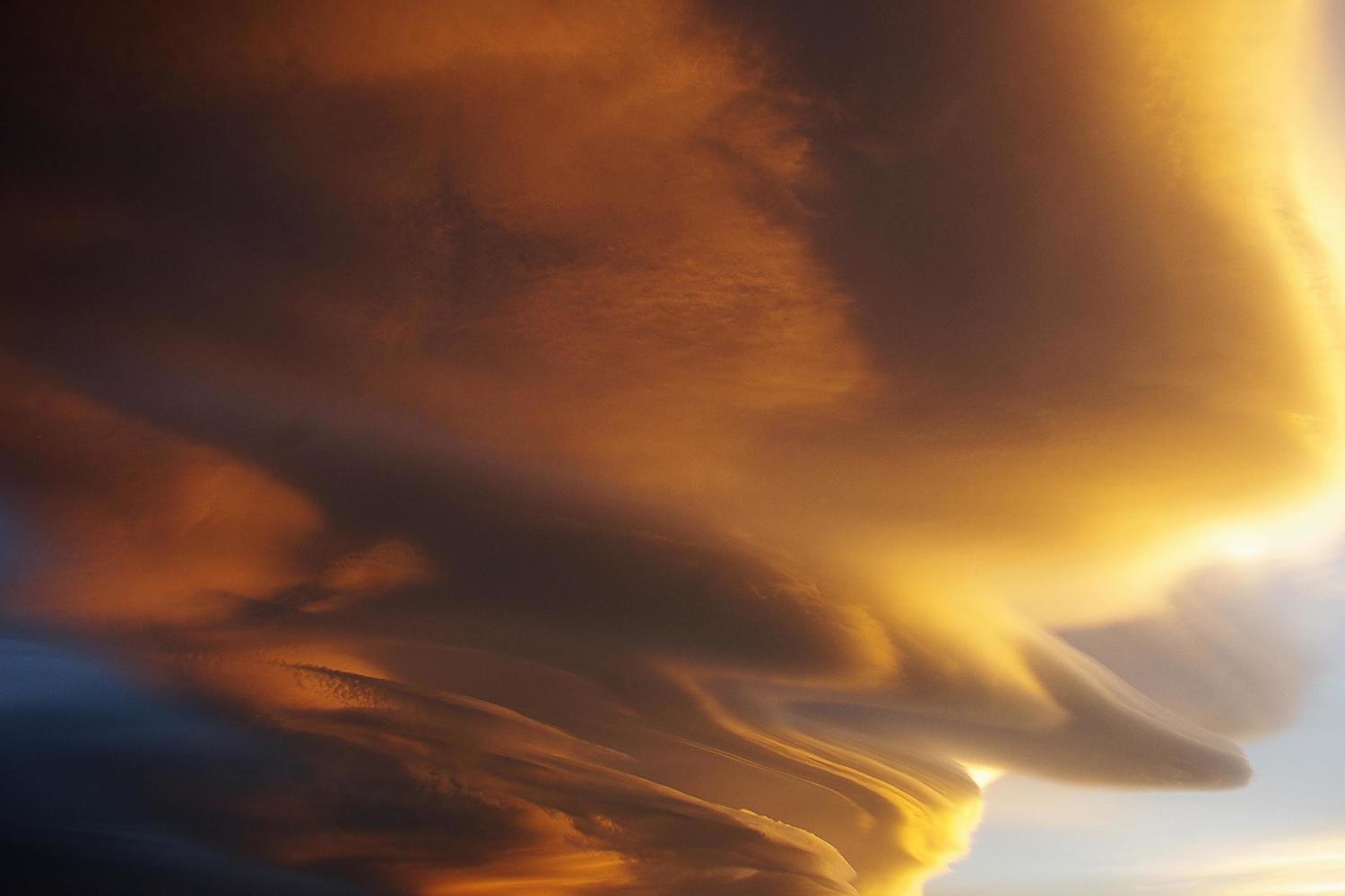
As we think the above photo, and this photo story shows, there’s often as much to admire up in the skies as there is at ground level in Patagonia. It’s not clear if anyone’s ever put together a list of the best places in the world to cloudgaze, but the distant horizons, powerful wind and slow pace of Patagonia surely make it a leading contender.
And if this article does nothing else for you, you’ll at least have learned the Spanish word for clouds.
O is for October, and the onset of Spring

The switching of the seasons, as you move into the Southern Hemisphere, creates a broad window for us ‘Northerners’ to swap the shortening days, dropping temperatures and grey mornings of late autumn for the fresh blooms and leaping lambs of springtime Patagonia.
As calendars are turned from September to October, Patagonia undergoes an awakening after the wet winter months. Guides blow the cobwebs from their walking boots, B&B owners plump up the pillows and the low hum of an idling 4x4 awaits its next captain. Nature too blinks the sleep from its eyes as days grow longer, river levels rise, woodpeckers rattle their calls through the Austral forests and lupins, wildflowers and orchids bring splashes of colour to the roadside.
It is a wonderful time to visit. Then again, O could also be for ochre - the autumnal colours of Patagonia’s forests are also a sight to behold.
Ask us to plan a springtime break
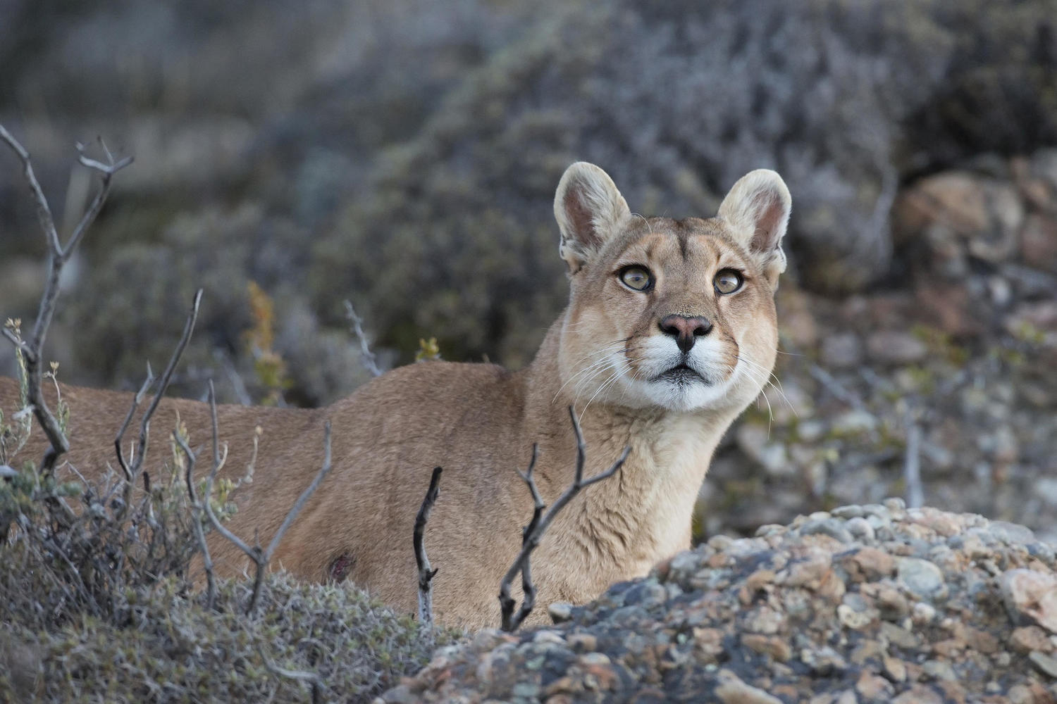
P is for Pumas, most prevalent in Paine
Time to dip back into our book for an excerpt, this time from Pura co-founder Xabi Etxarri (more on whom soon).
”When I arrived in Paine in 1994 it was practically impossible to see pumas – they hid out of sight, threatened by our presence. As the number of humans increased, the pumas began to lose this fear and sightings became increasingly common. In the last few years, I’ve seen pumas six or seven times each season – sometimes alone, but more often in small families. If you ever want to see one, your best bet is to keep your eyes peeled as you drive into the park at dawn, or out of it at dusk.”
Of course, this increase in visibility brings with it an increased responsibility for us to maintain a safe distance and doing what we can to blend into the landscape should we have the privilege of chancing upon one of these majestic creatures. As Xabi says: we are guests in their home.
As well as in Torres del Paine, the rewilded grasslands of the new Patagonia National Park on the Carretera Austral represent another opportunity to see a wild puma as you head out for a hike. 25 years of work from the Tompkins Conservation has restored the valley to its natural habitat and torn up miles upon miles of estancia fences. As guanaco numbers increased, so too has their predator become more prevalent.
Q is for Queulat, and its mountaintop glacier

The above photo was taken by Pura co-founder Thomas Power. In the foreground are his boys, sodden from a short but steep hike through the wet forests of Queulat. In the background is the emblematic Ventisquero Colgante - the hanging glacier.
The glacier would be a spectacular sight on its own, but sit it atop a natural mountain amphitheatre, surrounded by thickly-forested hills and with a milky green lagoon to catch its cascading ice and melt water, and it is elevated into one of the most special views in all of Chilean Patagonia. No wonder it made such a lasting impression on the youngsters.
R is for Route of Parks, protecting Patagonia
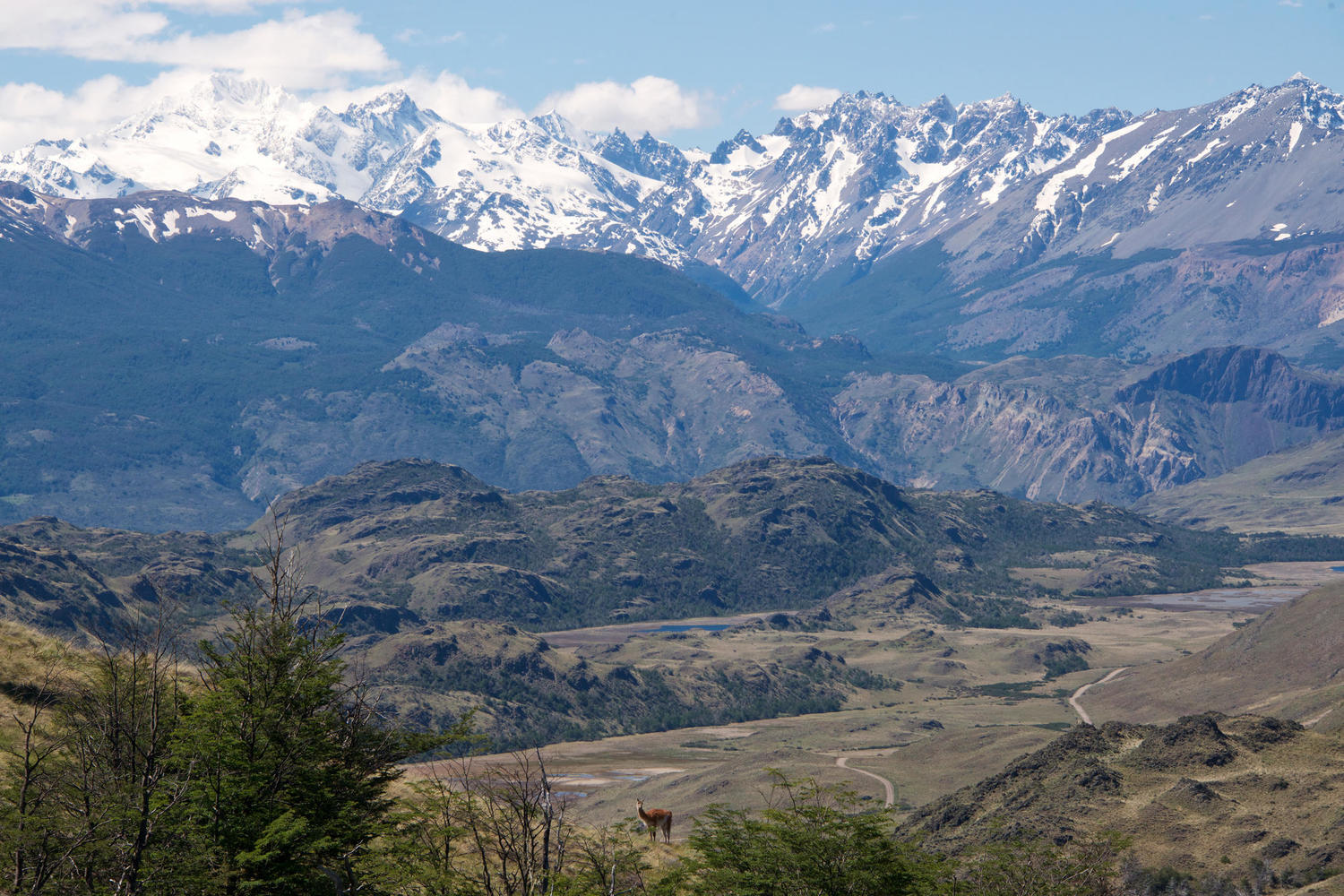
Patagonia’s remarkable Route of Parks project links 17 national parks in Chilean Patagonia, from the Lake District down to Cape Horn, via the varied landscapes along the Carretera Austral, the great Patagonian icefields and the iconic mountains of Torres del Paine. In total, the Route protects 28 million acres of land and encompasses 24 different ecosystems and 60 different communities.
That gives you some flavour of why we describe it as the world’s most ambitious conservation project. But while the numbers are impressive and the scale mind-boggling, as its heart, this great feat of conservation is the culmination of a very personal and improbable ambition, realised over time thanks to extraordinary perseverance, dedication and a sheer love of Patagonia on the part of Kristine and Douglas Tompkins (see K), and their like-minded partners.
What does it mean for us as travellers? The ethos of the Route was to take ecologically critical land, restore it and give it, in perpetuity, to the people of Chile. It’s effectively safe forever and in terms of scale and impact, there have been few greater charitable acts in history. In doing so, the project created a clear economic imperative for its long-term protection, which means thoughtful and sustainable tourism is required to bring income to the communities to which custody of the parks has effectively been passed.
Again, if you want to see the highlights of our European launch of the Route of Parks with Kristine Tompkins, you can watch them, or indeed the full video, here.
See a Route of Parks itinerary idea
S is for Southern Highway, a road less travelled
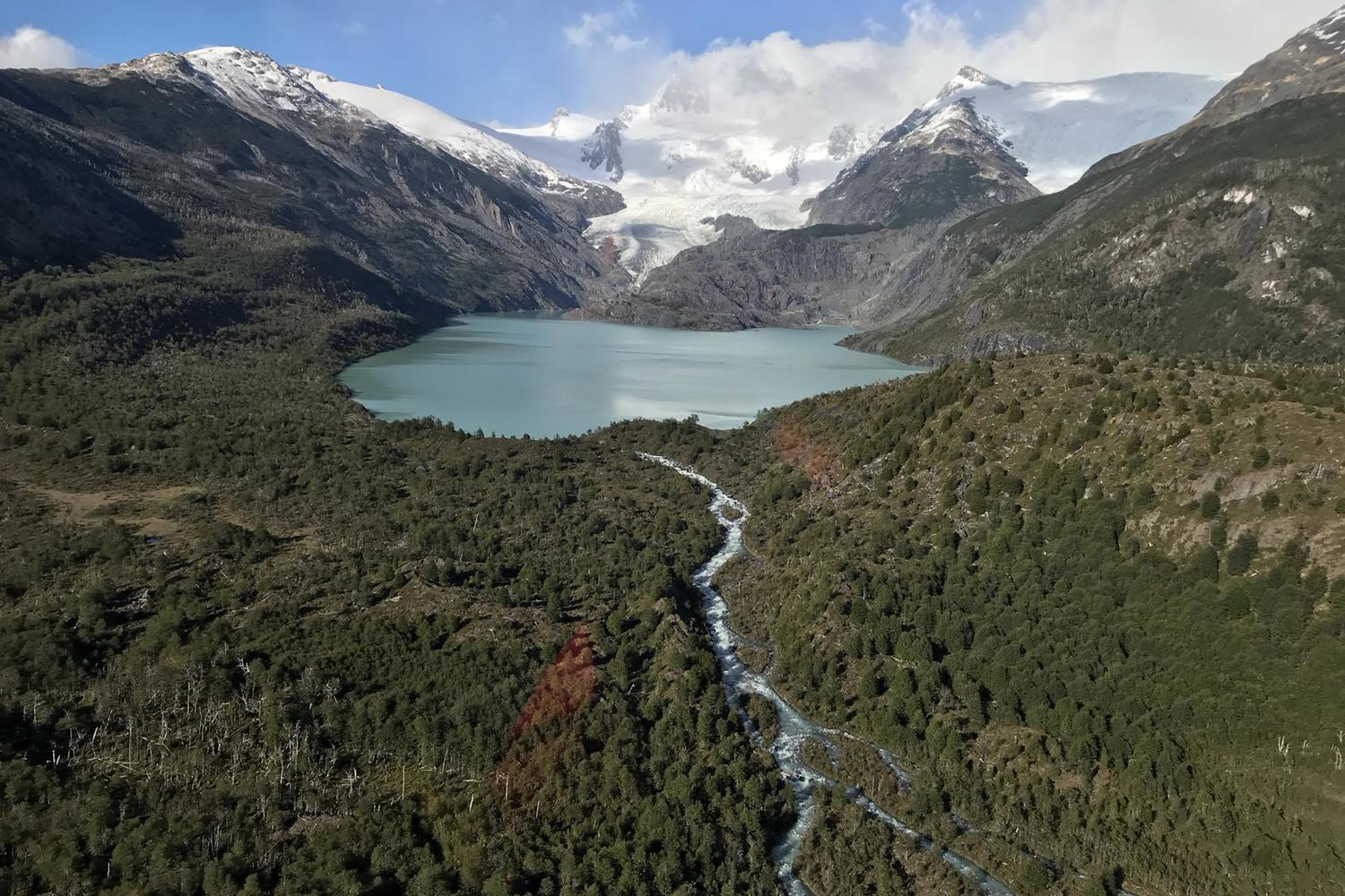
Forming a large part of the Route of Parks, Chile’s Southern Highway (Carretera Austral) is both physically and metaphorically a road less travelled, and ridiculously little known given just how extraordinarily beautiful it is.
Starting in Chile’s Lake District, via a pair of ferries through the fjords, the Carretera Austral threads its way south, linking together the primeval rainforests of the north with the icefields of the south. On the way you encounter vast rewilded grasslands roamed by herds of guanacos and reintroduced rheas, jagged basalt mountains and glacial lagoons roamed by serious hikers, arid Patagonian steppe seemingly borrowed from Argentina and flowing rivers with thrill-a-minute foamy rapids. At Villa O’Higgins the road dead ends, waiting for a connection with Argentina that might never come.
25 years since we first experienced it, as our co-founder Thomas Power hitchhiked his way north from Torres del Paine to Santiago, it's still somewhere you can jump into a 4x4 or pull on your walking boots and head out to explore in the absolute wilderness and unspoilt natural beauty. This part of Patagonia, and the highway that ties it all together, has to be one of the world’s most beautiful road trips.
T is for Torres del Paine, and doing it justice

If the Carretera Austral is the road less travelled, Torres del Paine is the trail more trodden. It is the best known national park in Chile and one of the most iconic sights in all of South America. And for good reason; all of Patagonia’s landscapes are here: glaciers, mountains, forest and steppe. Inside the park, glacial lakes of grey, turquoise and blue reflect dramatic black-tipped mountains which emerge directly from the plains.
So it’s no surprise that, over the 20 years we’ve been taking people there, visitor numbers to Torres del Paine have risen steadily to a point where it can feel crowded, particularly in the peak months of January and February.
That means we have to work increasingly hard to carefully plan our trips here to ensure you experience not just the well-known highlights, but also get out to the edges of the park, where Paine feels wild and raw and where guanacos, rather than other hikers, provide the company. Often, but not always, that means handing you the keys to your own 4x4 and giving you the freedom to explore independently, with our walking notes, maps and recommendations in hand.
Pura’s three co-founder met in Torres del Paine 25 years ago. One of them - Xabi (spoiler alert!) - still guides here for much of the year and trains the new intake of guides each year. All of which gives us a great sense of responsibility and pride to make sure we do this special place justice.
Drive & Hike Patagonia Holiday
U is for Ushuaia, and hopping into Argentina
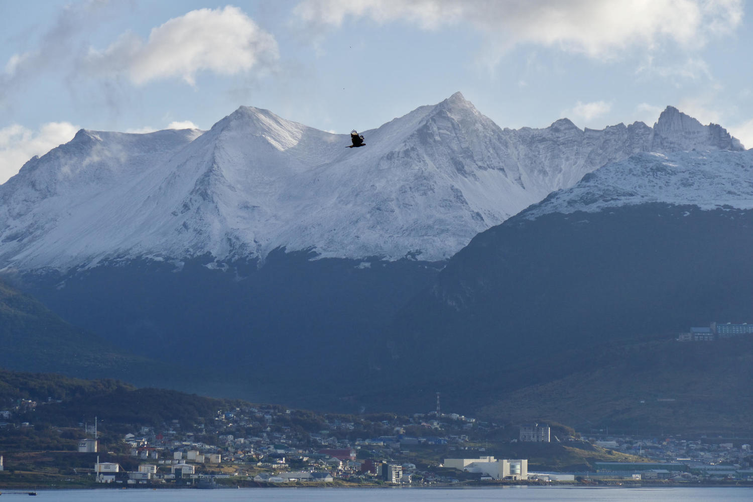
In keeping with the fine tradition of border squabbles between Chile and Argentina, we’re pinching a bit from the latter here. But in truth, it’s sometimes easier to look at Patagonia as one country with a somewhat blurred national border down the middle. Indeed some of our best trips down here pay little heed to such borders, hopping freely back and forth between Chile and Argentina.
There are a few common places to do just that, and others that are less used but which make more sense in the context of your journey. One way is to drive from the Torres del Paine National Park into Argentina and on up to El Chaltén and El Calafate. The former is a base for world class hiking around Mount Fitz Roy, the latter the roost from which most do their day trips to the famous Perito Moreno Glacier. We prefer to station you in a 100-year-old estancia and have you visit under your own steam outside peak visitor hours.
There are myriad ways to jump back and forth further north, but these are better discussed in the context of your own trip. One common way you might be familiar with is to reach Ushuaia via an expedition cruise through the channels and fjords of Tierra del Fuego to Cape Horn. From here you can either carry on up through Argentine Patagonia, or bounce straight on to Buenos Aires. Either way, there’s some great walking to be done in Ushuaia if you can spare a day.
V is for Valdivian forest, and the Walk of Life
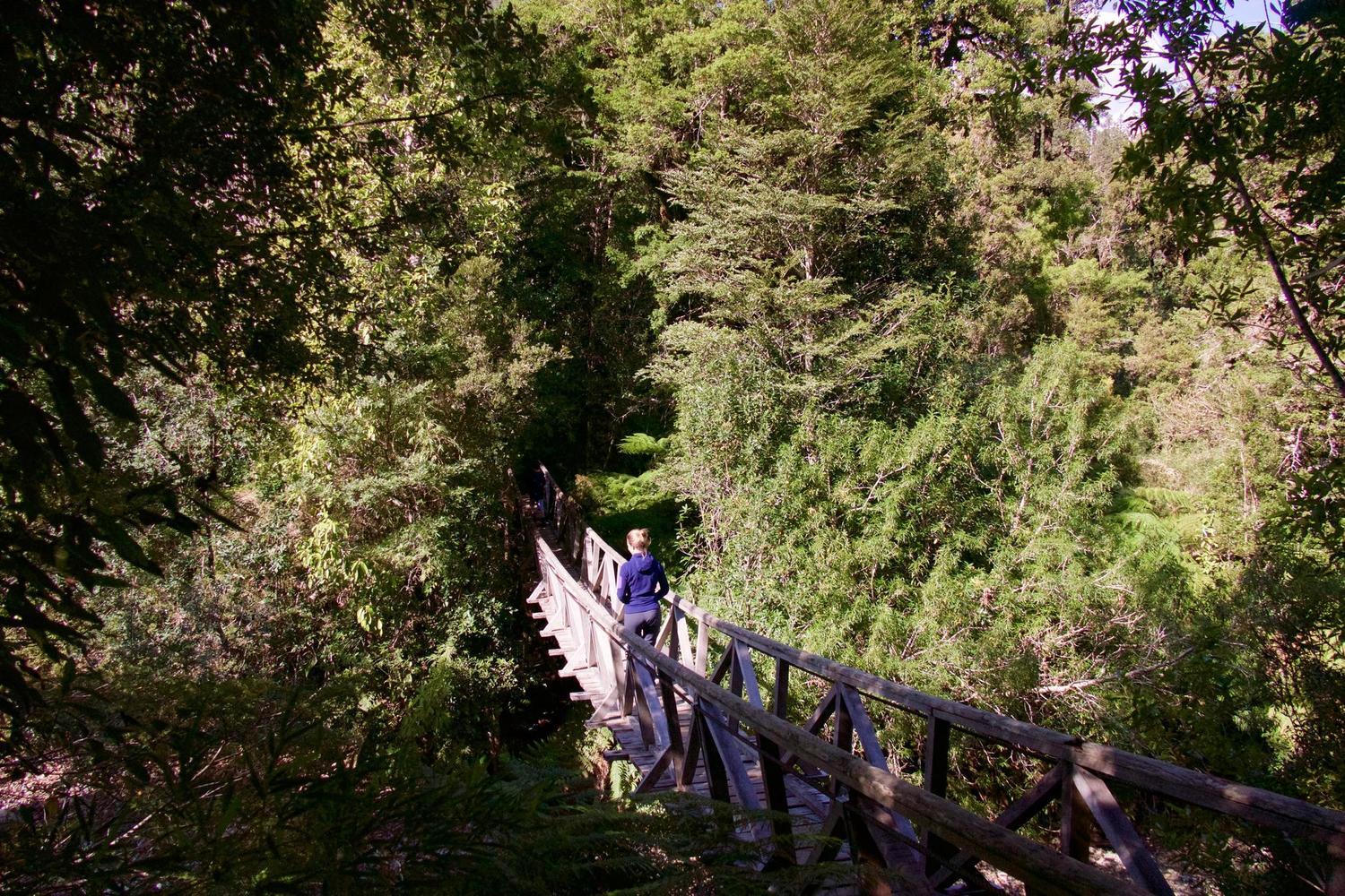
So precious is this ecosystem that it is found in only five other places on earth. So it's a blessing then that you have to veer somewhat off the beaten path in the northern sector of Chile’s Carretera Austral to find it.
There are a few places where you can head out on guided or self-guided walks through Valdivian forests; Pumalín, Queulat and Futaleufú being the most common in our trips. It was in the former - Parque Pumalín - that Pura’s Thomas Power took his boys on a hike that was described by his 10-year-old as "the walk of the life."
That 'life' develops at different rhythms here. At the leisurely end of the scale, the slow-growing Alerces are among the oldest living organisms in the world - one of them here is thought to be about 3,000 years old. Faster growers are the birds which hatch each spring and breathe new life into the forests. Somewhere in between are the moist ferns, mosses and lichens which add more layers of depth to the thick understory.
Like the new Patagonia National Park further south, Pumalín owes its existence as a national park to the philanthropic conservation efforts of Douglas Tompkins, who bought the Reñihué Estancia and thousands of acres of land to protect the native trees from the threat of deforestation. Later it was all handed over to the government as protected territory by the Tompkins Conservation.
W is for Walking, in the big jagged mountains
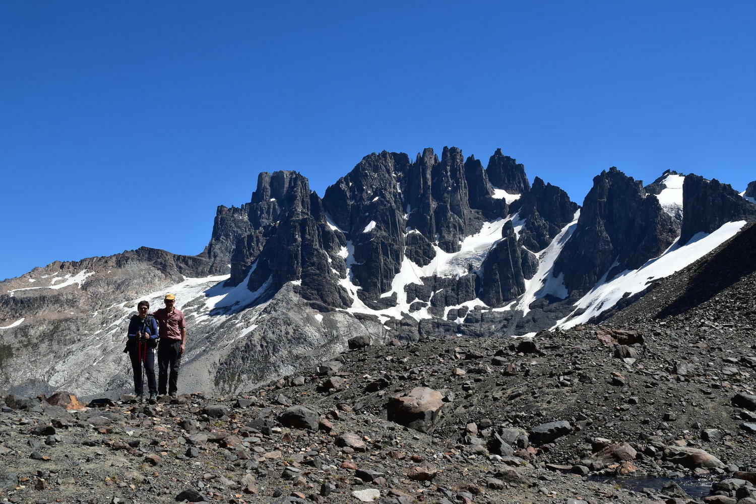
Here’s another one that got lost in the dance for the letter C, even though it was bringing two of them to the table. But seeing as how Cerro Castillo is all about walking, it slots quite neatly in here.
This newish national park is located around halfway down the Carretera Austral, where the forests of the north thin out and a drier, rockier landscape takes over. The crowning glory of the park is the jagged-edged, castle-impersonating, 2,320m high Cerro Castillo peak. Its distinctive form gives the park its name and takes centre stage in a natural amphitheatre of chiselled snow-dusted peaks, rising above the glacial turquoise waters of Laguna Verde. It’s a steep and long old hike to get here, so if you believe that the more you earn a view, the more you’ll enjoy, this is one that will stay with you.
See a trip idea with Cerro Castillo
X is for Xabi, a Paine pioneer
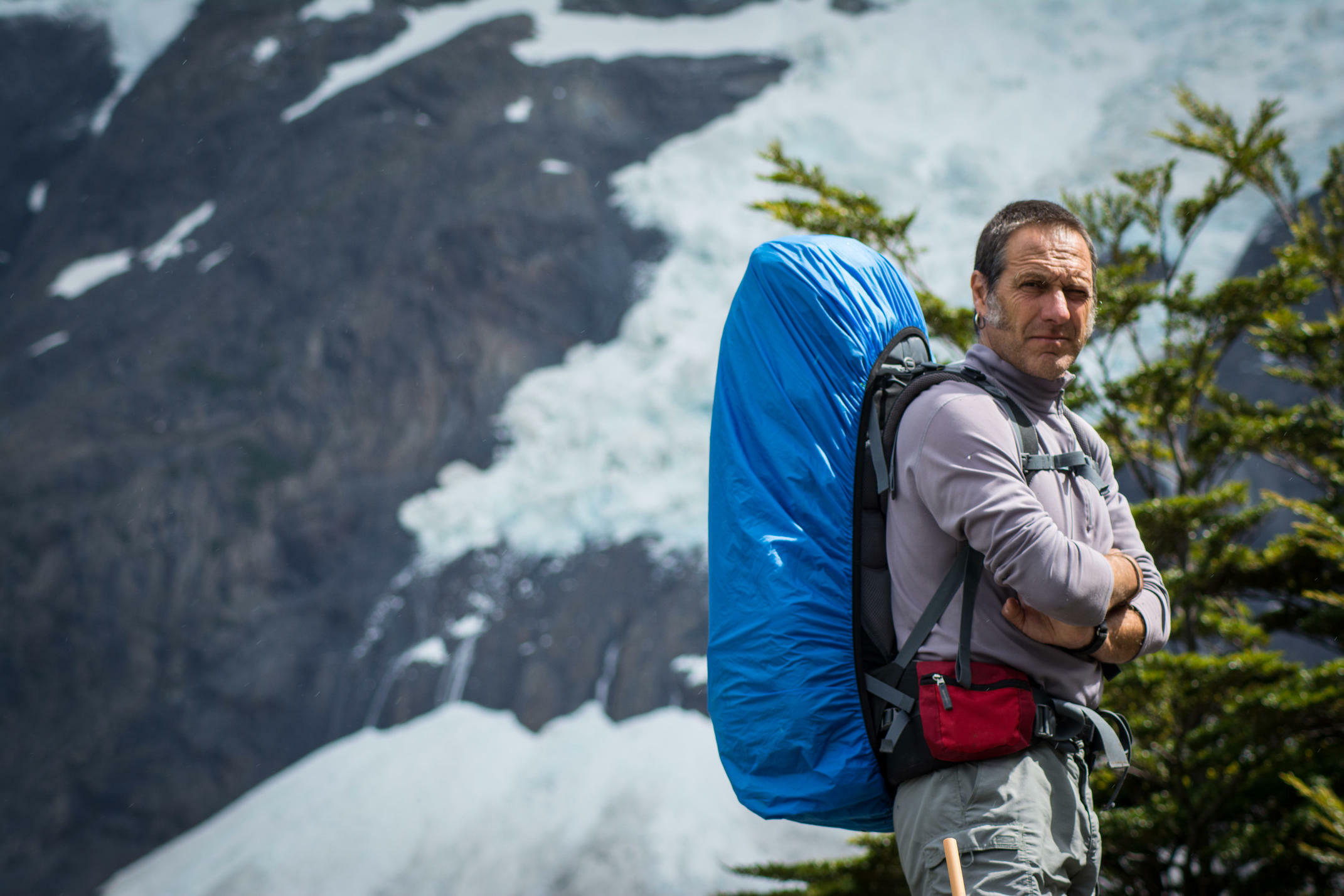
For a man born in the Basque Country, who spends most of his time living on the side of a mountain in northern Spain, Xabi Extarri’s Patagonia credentials are quite outstanding.
Along with Thomas Power and Diego Martin, Xabi co-founded Pura Aventura in the late nineties when the trio met down in Chilean Patagonia and developed the idea of sharing its then even more remote beauty in comfort. Only one of the three still has the pleasure of spending a good chunk of the year guiding there though. And that’s Xabi.
As well as pioneering a new river entry route into the famous Torres del Paine, Xabi was also responsible for writing the manual which is still used to train the park’s new guides. Indeed, a key part of his current role is bringing the yearly intake up to speed. A couple of years ago we tasked him with finding new self-drive routes into some of the park’s more peaceful corners, something he took to with great relish and great results.
Our Xabi is a man of many talents though. As well as being a qualified science teacher and an accomplished rugby player, he is also quite the poet. Here’s an excerpt from a poem about Patagonia entitled Nostalgia cíclica (2000), translated from Spanish.
”Patagonia is distance and loneliness, uproar and silence Music abandoned over a stone. She is wild, coarse, rude, wets you, freezes you, laughs at you But if you know and love her you smile, shout and head the wind in the face. When she wants, she's soft, but suddenly the wind comes again”
Y is for Yerba maté, a great Patagonian tradition

A great tradition in Patagonia is to share a yerba maté, with everyone sitting in a circle. Traditionally, the form is that one person is appointed pourer, they fill the cup with very hot water and pass it to the first person. Rather than drinking from the lip of the cup, you drink through a metal straw, called a Bombilla. It will generally take two or three slurps to empty the gourd at which point the cup is passed back to the pourer who refills it and passes it to the next person. This continues, with the strength of the maté gradually easing, in a gently sociable way.
In this post-covid outbreak world, such practices might have had their heyday. But there’s nothing wrong with going it solo and ordering a maté in a local café. For many the taste is an acquired one, but there are few better ways to make you instantly feel 10% more Patagonian.
Z is for Zodiacs, and the end of Patagonia

As you might have guessed, this one took a bit of head scratching. Zs are in short supply down here. But right down at the bottom of Patagonia, the end (or is it the start?) of a continent, there are a few inflatable Zs getting us up close to some of the most beautiful parts of Chile, areas so lightly touched by the human hand that you really do feel like you’re exploring in the absolute elsewhere.
On the way to Cape Horn (see C) the Australis expedition cruise will have you regularly disembarking and piling into the zodiacs, charting a course towards elephant seal and penguin colonies, untouched Magellanic forest alive with bird song and rivers dammed by the industry of beavers.
On another day, zodiacs deliver you the Pia Glacier, from where it’s a short walk to a viewpoint which reveals the glacier along its entire length, from mountain to the sea. And as the ship picks a path through the Beagle Channel, an alleyway of great glaciers draws comparisons to Antarctica.
This is but one corner of an elemental land, where nature has almost boundless space to grow wild and express itself. Sensitive, low impact tourism has a fundamental role to play here, creating an economic imperative to protect the land and an economy which, rather than overwhelming and altering, is designed to support and empower local communities. We’re proud to be a part of that.
Thank you for reading. We'll getting cracking on an A-Z for the Argentine side soon.
The Pothole is Pura Aventura's popular monthly email. We share what we love, what interests us and what we find challenging. And we don't Photoshop out the bits everyone else does. We like to think our considered opinions provide food for thought, and will sometimes put a smile on your face. They've even been known to make people cry. You can click here to subscribe and, naturally, unsubscribe at any time.
